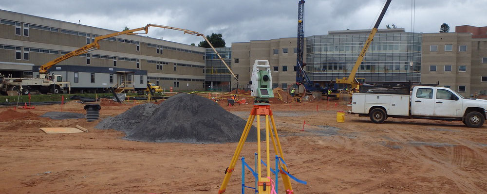
JOB SITE CONTROL, LOCALIZATION, CALIBRATION & POST PROCESSING
It all starts and ends with your Job Site Control, if your site control is poor all the best data preparation in the world will not help you..
Your digital data files must be “TIED” to the ground, whether it is surveyed control points, property pins or you are using a coordinate projection. You need numerous control points in the correct locations to either Localize/Calibrate the site or to confirm your digital data was created using the correct projection.
At A&N 4D Data Solutions we can confirm your site control is accurate & correct, if it is not - we can fix it. If you have no control then we can establish accurate control so you can Localize\Calibrate yourself, or we can provide you with a complete solution so you just show up to the site, set up and begin work.
We have access to legal property plans database so we can re-establish the legal property boundaries, we can post process and establish your own site control, or we can find the existing property pins for you.
We can “Tie” to the local ground control monuments or “Tie” to the government reference base stations. You can do all of the above yourself and send us the data and we will make sure the digital plans from the Engineer or Architect “Tie” to your control.
Whatever your control issues are, we can help.